How does it work?
About %Cover
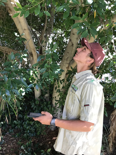
%Cover is an environmental application designed for use on iOS devices. It utilises standard smart phone technology (such as camera, GPS, date/time) to apply existing assessment techniques, used by environmental professionals, students and amateurs, in the ecological assessment of vegetation cover; i.e. the amount of canopy leaf cover versus leaf gap, above a nominated point along a transect or under an individual tree.
The amount of leaf cover is expressed as a percentage value and is a commonly used metric in the environmental monitoring, classification and condition assessment of vegetation communities. The existing field practice for estimating the percentage of canopy cover is to visually assess the canopy cover using a hard copy reference sheet, with black and white images showing incremental area increases of 10%; from entirely white (0%) to entirely black (100%).
%Cover was designed to be a simple digital application of an established scientific method for the measurement and monitoring of leaf canopy cover. Smartphone technology provides a platform for the collection and analysis of environmental monitoring data, therefore minimising the amount of specialised field equipment.
%Cover has been designed with two key principles:
- Keep it simple and
- Works every time.
Who uses %Cover?
- Natural resource management agencies across all government jurisdictions (i.e. Local, State, Territory and Commonwealth Governments)
- Consultants and contractors involved in the preparation/audit/certification of environmental assessment data accompanying development proposals
- Land managers, arborists, horticulturalists, agriculturalists, foresters and ecologists
- LandCarer’s, community groups, rehabilitation professionals and local schools
- Educators, teachers and students.
Applications
- Structural Classification – percentage foliage cover of tallest plant layer can be used to determine ecosystem structure: Dense (70-100%), Mid-dense (30-70%), Sparse (10-30%), Very Sparse (<10%).
- Monitoring of ecosystem health using percentage canopy cover as one of the performance indicators for natural and rehabilitated ecosystems.
- Data capture includes:
- Canopy photo
- Location, date and time
- Percentage canopy filled (leaf cover)
- Percentage canopy unfilled (no leaf cover)
- Detection setting for the analysis
- Analysis results and photo data saved automatically
- Edit capacity for Gallery data
- Share Standard device share options and
- Map GPS based map location.
Questions, assistance or suggestions?
Please contact us if you have a question, require assistance or have suggestions. The update of this app will be based on your suggestions.
As users of %Cover we are committed its maintenance and development. Work is already underway on additional functions that will value add to the user experience and data management.
What is %Cover
%Cover is a simple and reliable canopy measurement tool, designed for natural resource managers and naturalists wanting to assess structural classification of an ecosystem and/or effectively monitor the health of a vegetation community.